Alaska routinely experiences more seismic activity than any other U.S. state. According to the Alaska Seismic Hazards Safety Commission, the state records thousands of earthquakes each year, including several strong events capable of causing damage in populated areas. Seismologists attribute this high activity level to Alaska’s location at the boundary between the Pacific Plate and the North American Plate. The two plates converge along the Alaska-Aleutian subduction zone, creating frequent stress accumulation and release beneath the state’s southern coast.
Thursday’s magnitude 6.0 quake is among the strongest in the Anchorage region since a magnitude 7.1 event in 2018 snapped roads and damaged buildings. By comparison, the 1964 Great Alaska Earthquake, which reached magnitude 9.2 and remains the second-largest ever instrumentally recorded worldwide, devastated communities across Prince William Sound and triggered tsunamis that affected the entire Pacific Basin.
Seismologist preliminary reports describe the latest event as primarily tectonic in nature, involving oblique slip along a fault consistent with plate boundary stresses. Several minor aftershocks ranging from magnitude 2.5 to 3.8 were detected within the first hour, and experts expect additional small tremors over the coming days. The Alaska Earthquake Center encouraged residents to remain prepared for potential aftershocks by securing heavy furniture, keeping emergency supplies on hand, and reviewing drop-cover-hold procedures.
While Anchorage traditionally bears the brunt of regional earthquakes, rural communities closer to the epicenter can experience sharp, localized shaking despite having fewer structures. Officials in the unincorporated Susitna area reported no disruptions to transportation routes, and inspections of the George Parks Highway—Alaska’s main north-south artery—found no signs of cracking or subsidence.
Air operations at Ted Stevens Anchorage International Airport proceeded without interruption, according to airport spokespersons. Flight crews routinely receive briefings on local seismic hazards, and runways are designed to withstand moderate ground movement. Alaska Railroad personnel also performed precautionary track inspections, clearing all morning freight and passenger services to continue on schedule.
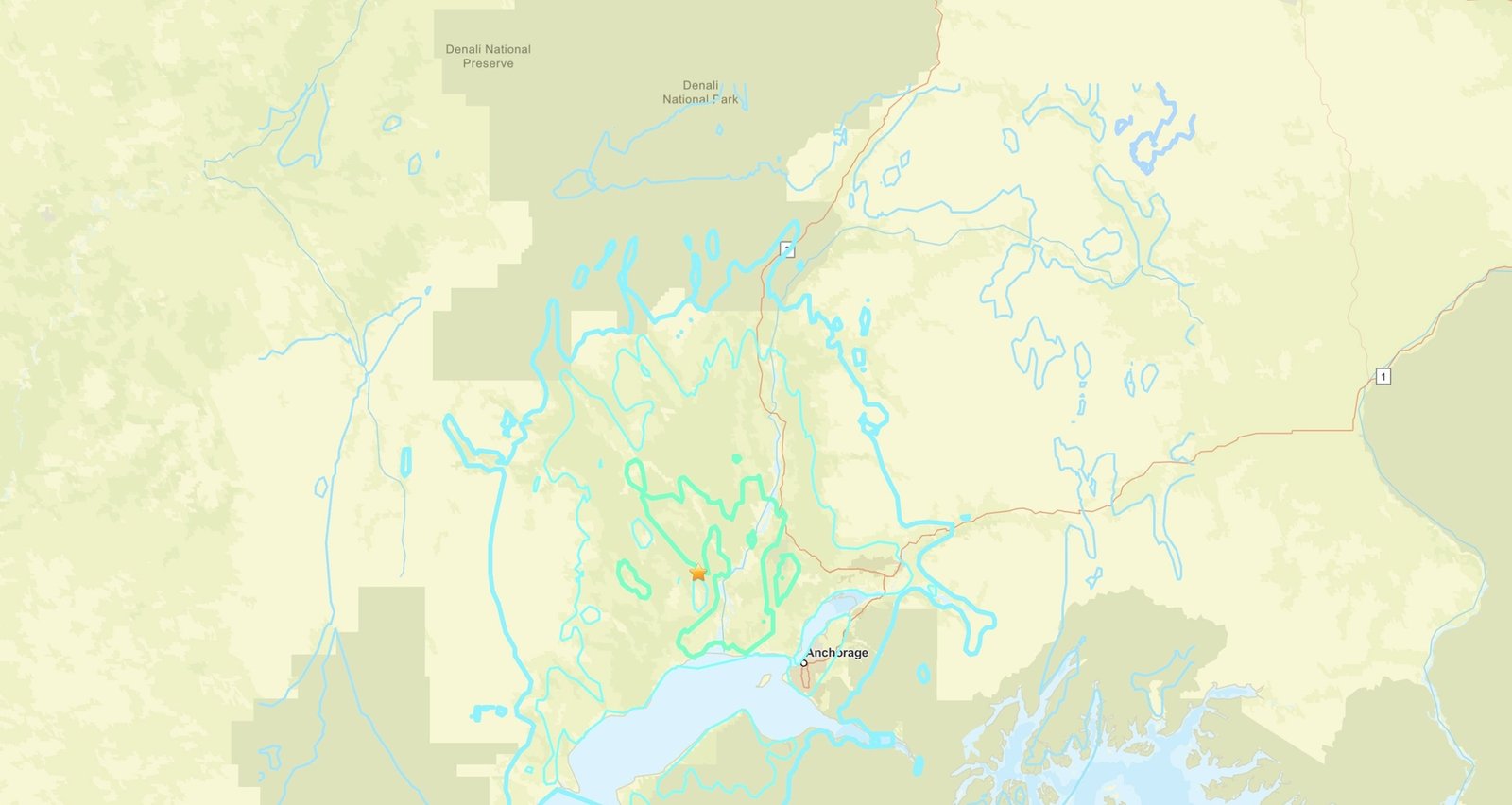
Imagem: Internet
The earthquake occurred one day after a magnitude 4.6 tremor rattled Hawai‘i Island, underscoring the distributed but varied seismicity across the United States. Seismologists note that Alaska’s plate-boundary setting differs from the hotspot-related volcanism driving most Hawaiian earthquakes, yet both regions illustrate the country’s diverse tectonic landscape.
Because no serious consequences were reported, the event primarily served as a reminder for Alaskans to review emergency plans. State officials reiterated that preparedness remains essential even when an individual quake causes little impact. Critical infrastructure—including gas pipelines, power generation stations, and telecommunications systems—underwent standard post-earthquake checks, all of which indicated normal operations.
USGS monitoring instruments continue to collect data on the mainshock and subsequent aftershocks. Detailed analyses will refine depth, fault orientation, and slip estimates, contributing to broader research into seismic hazards across the Gulf of Alaska. Data from Thursday’s event will also feed into national shaking-intensity maps that inform building codes, insurance underwriting, and disaster-response planning.
Residents who experienced shaking can contribute firsthand information through the USGS “Did You Feel It?” online questionnaire. Crowdsourced reports help scientists correlate ground motion recordings with human perception, improving models of how seismic waves propagate through varying soil and bedrock types.
Crédito da imagem: USGS


