Last week’s storm has been blamed for several dozen fatalities across multiple states. Reported causes include hypothermia, suspected carbon monoxide poisoning, and accidents involving vehicles, sleds and snow-removal equipment. Highway crews are still clearing packed ice, and utility workers continue replacing damaged lines as the new cold front arrives.
Meteorologists warn that snow will redevelop Friday night over eastern Tennessee, southern Virginia, most of North Carolina, northern South Carolina and northeastern Georgia. Localized blizzard conditions are possible, adding further strain to road clearing and power-restoration efforts. The wintry pattern should relax early next week, when daytime temperatures climb into the 40s and 50s across Texas and Tennessee and into the 50s and 60s by Tuesday; however, overnight lows will remain problematic for residents still without electricity.
Florida, which escaped the initial ice storm, will not avoid the second outbreak. Forecasters expect the coldest air mass in more than 15 years to reach the state by Sunday morning. Readings are predicted to fall into the 20s in Tallahassee, Jacksonville and Orlando, threatening daily records in all three cities. Tampa could touch the freezing mark, while Miami may dip into the upper 30s—potentially its lowest temperature since December 2010.
Sub-freezing conditions could damage or destroy sensitive crops throughout the Sunshine State. Florida supplies leafy greens, strawberries, tomatoes, bell peppers and blueberries to national markets during winter. Farmers have already reported frost injury to snap beans, sweet corn, squash and peppers following preliminary chills. Citrus growers are activating long-standing freeze-mitigation measures, such as micro-sprinkler irrigation to warm the air near tree canopies and protect root systems. Industry representatives indicate that recent grove-health initiatives may help trees withstand the cold, but warn that losses will depend on how low temperatures fall and how long they persist.
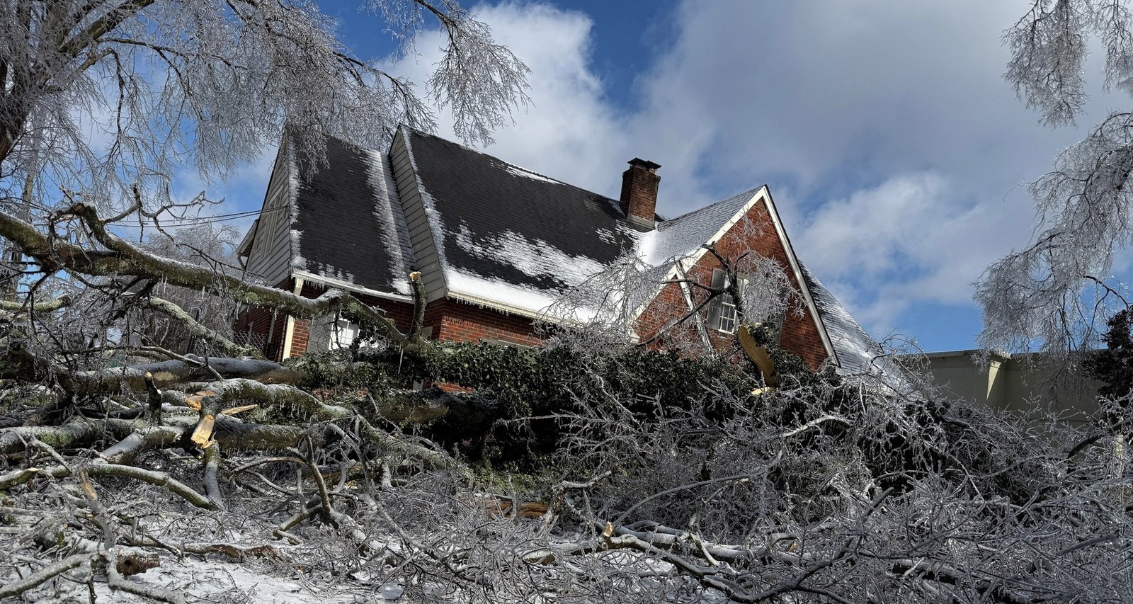
Imagem: Internet
Wind chills on Sunday morning could drop into the single digits in north Florida, the teens across the central peninsula and the 20s in the south. The National Weather Service cautions that gusty winds accompanying the cold front may tear tarps and coverings from vegetation and plumbing, urging residents to finish preparations by early Saturday. Detailed guidance on cold-weather safety and property protection is available through the agency’s official resources, such as its Cold Weather Safety portal.
Wildlife experts are also bracing for impacts. Reptiles, including iguanas, historically become “cold-stunned” when temperatures fall into the 40s, sometimes causing them to lose muscle control and drop from trees. At zoological parks in South Florida, keepers plan to move giant tortoises, large lizards and other tropical species into heated enclosures. Crocodilians will be given access to circulating water to prevent surface ice, while smaller mammals such as sloths and porcupines are being sheltered indoors. Some larger cats, including tigers, may become more active in the cooler weather, but staff will increase feed across exhibits to offset the higher caloric demands of thermoregulation.
Although the bitter blast is forecast to moderate by mid-week, nighttime temperatures will continue to flirt with freezing in many areas, prolonging concerns for vulnerable populations—particularly the elderly, homeless and those still without power. Emergency managers across the South are urging residents to seek warming shelters, exercise caution when using space heaters or generators, and monitor local updates as the situation evolves.
Crédito da imagem: Brett Carlsen/Getty Images