Storm Track and Rainfall Projections
Meteorologists say the moisture-laden front will first reach Northern and Central California on Thursday morning, producing up to 4 inches of rain in parts of the Bay Area and Sacramento Valley. The system is forecast to move quickly southward, arriving in the Los Angeles region late Thursday night and continuing into Friday morning.
Between Friday and Saturday, coastal and valley locations across Western California are expected to receive 1 to 3 inches of rain. Higher elevations surrounding Santa Barbara could accumulate 4 to 6 inches over the same period, significantly increasing the potential for rockslides and saturated soils. Officials warn that additional showers likely from Sunday through at least Tuesday could prolong hazards as ground stability degrades.
The National Weather Service has posted flood watches spanning much of Central and Southern California, including the metropolitan areas of Los Angeles and San Diego. Daytime temperatures are forecast to remain below seasonal averages while the storm is in the region.
Experts note that atmospheric rivers—narrow bands of concentrated moisture that travel across the Pacific—can deliver large quantities of rain in a short time. Detailed information on the phenomenon is available from the National Oceanic and Atmospheric Administration, which monitors these events and their potential impacts on the West Coast.
Preparedness Measures and Safety Guidance
The Los Angeles County Fire Department urged residents in burned or flood-prone zones to stay clear of flood channels, catch basins, canyons and natural waterways. Officials advised securing outdoor property, having emergency kits ready and closely following updates from local authorities. “Anyone in these areas should be ready to leave at a moment’s notice,” the county stated.
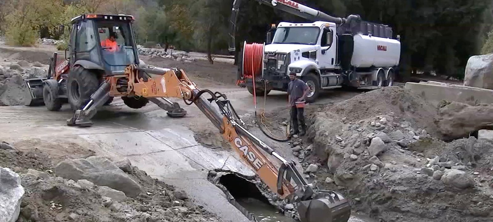
Imagem: Internet
Evacuation warnings remain in effect through Sunday. If mandatory orders are issued, residents should follow designated routes and wait for official clearance before returning home. Motorists are cautioned never to drive across flooded roadways, as water depth and roadway integrity can be difficult to gauge.
Potential Impacts on Infrastructure
Transportation agencies are preparing for possible roadway closures due to debris flows or flooding, particularly along canyon routes that historically experience washouts. Utility crews are likewise on standby to address downed power lines and service interruptions. In mountainous regions, loose rocks and soil burned bare by recent wildfires pose a heightened risk of sudden slope failure.
Emergency managers also highlighted the threat of rapid urban flooding in low-lying neighborhoods where storm drains could become overwhelmed. Sandbags have been made available at several fire stations across Los Angeles County, and residents were encouraged to pick them up ahead of the heaviest rainfall.
Continuing Monitoring
Weather agencies will continue to refine forecasts as the storm progresses down the coast. Residents can monitor real-time updates via county alert systems, local social media channels and National Weather Service bulletins. Authorities stress that conditions can change quickly during intense rain events, particularly in regions compromised by recent wildfires.
While the incoming storm may provide some relief to drought-stricken reservoirs, officials underscore that public safety remains the top priority during high-impact weather. Residents in the listed burn scars—and in any hillside community with a history of slides—are urged to remain vigilant, follow official instructions and evacuate promptly if ordered.
Crédito da imagem: Los Angeles County Fire Department


