A Hurricane Warning is in place for the entirety of Jamaica, signifying that hurricane conditions are expected within 36 hours. A Hurricane Watch extends to Haiti’s southwestern peninsula and eastern regions of Cuba, indicating that hurricane-force winds are possible in those areas.
Rainfall and Flooding Threat
Heavy precipitation remains a primary concern. Forecast models call for 15 to 30 inches of rain across southern Hispaniola and Jamaica through Wednesday, with isolated totals reaching 40 inches. Such volumes are likely to trigger catastrophic flash flooding and landslides in mountainous terrain and low-lying communities.
Eastern Cuba is projected to receive 6 to 18 inches of rainfall as Melissa moves across or near the region. Similar hazards for flash flooding and landslides are anticipated there, particularly in river basins and deforested areas.
Storm Surge and Marine Impacts
Residents along Jamaica’s southern coast face a life-threatening storm surge beginning late Monday and continuing into Tuesday morning. Water levels could rise 9 to 13 feet above normally dry ground, compounded by large and destructive waves. Coastal flooding is also possible along low-lying sections of southeastern Cuba and the southeastern Bahamas as the hurricane advances.
Dangerous surf, rip currents and coastal erosion are expected well ahead of the storm. Mariners across the central and western Caribbean are advised to remain in port, while small craft warnings cover the broader region.
Historical Context
If Melissa strengthens further, it could become the strongest hurricane to strike Jamaica since Hurricane Gilbert in 1988, which also made landfall as a Category 4 storm. The potential escalation to Category 5 would place Melissa among the most intense hurricanes ever recorded in the Caribbean during late October.
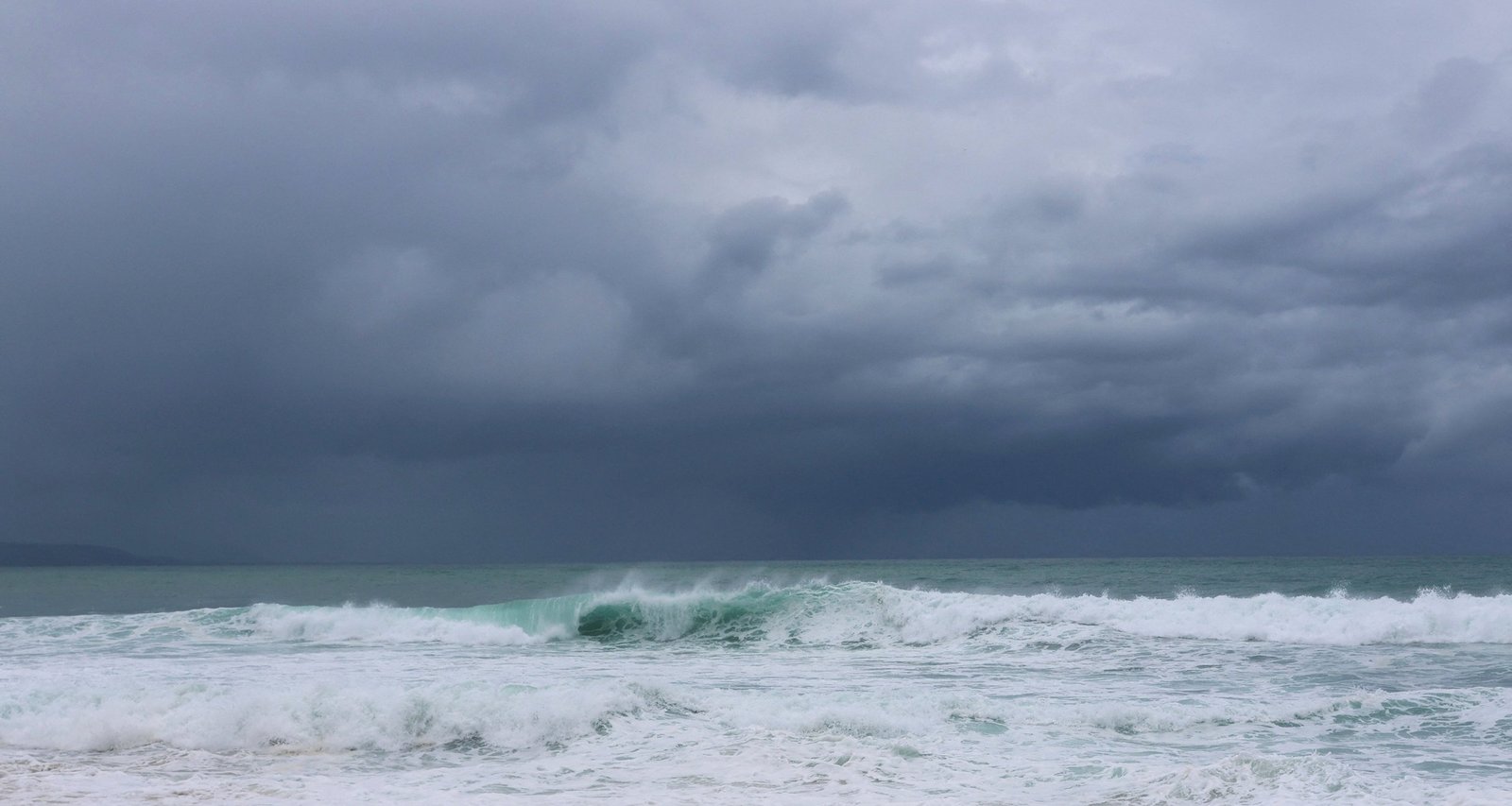
Imagem: Internet
Preparedness Measures
Local authorities in Jamaica have initiated evacuation orders for vulnerable coastal zones and urged residents to secure homes, stock emergency supplies and heed official guidance. Ports have suspended operations, and airlines are adjusting schedules ahead of the expected disruption.
Emergency management agencies in Haiti and Cuba are activating shelters and pre-positioning relief supplies. The NHC recommends that residents throughout the projected path finalize preparations, as conditions will deteriorate rapidly once outer rainbands arrive.
Forecast Uncertainty
Although confidence is high regarding Melissa’s short-term movement, intensity changes remain difficult to gauge. According to the National Hurricane Center, eyewall replacement cycles or interaction with Jamaica’s topography could cause fluctuations in wind speed before landfall. Nevertheless, the hurricane is expected to remain a major system—Category 3 or higher—through its passage over Jamaica and southeastern Cuba.
After crossing the Greater Antilles, Melissa is forecast to enter the Atlantic near the southeast Bahamas. Environmental conditions there are currently favorable for the cyclone to retain significant strength, though gradual weakening is possible later in the week as shear increases and the storm moves over cooler waters.
Key Advisories
- Hurricane Warning: Jamaica
- Hurricane Watch: Southwestern Haiti, southeastern Cuba
- Tropical Storm Warning: None issued at this time, though watches may be extended as the storm nears the Bahamas
The NHC will release its next full advisory early Sunday afternoon, followed by updates every three hours while Melissa maintains major hurricane status. Residents in the warned and watched areas should monitor local emergency channels for the latest information.
Crédito da imagem: Reuters


