Meteorologists expect torrential rain totals of 15 to 30 inches across Jamaica, Haiti and the Dominican Republic, with isolated amounts that could exceed 40 inches on Jamaica’s southern coast and Haiti’s Tiburon Peninsula. The heavy rainfall is likely to result in extensive flash flooding and landslides, especially in mountainous terrain. Coastal communities also face life-threatening storm surge and destructive waves as the hurricane’s core approaches.
Potential Track Beyond Jamaica
Current forecasts indicate that Melissa will cross Jamaica on Tuesday and approach eastern Cuba by Tuesday night while remaining a major hurricane. Although some weakening is anticipated after interaction with land, the system is expected to maintain hurricane strength as it moves near or over the southeastern Bahamas and the Turks and Caicos Islands late Wednesday into Thursday. For the latest advisory details, residents can consult the National Hurricane Center.
Transportation and Communication Measures
Jamaica’s Ministry of Transport closed all airports on Sunday to secure facilities and allow airlines to reposition aircraft. Ports have suspended operations, and public transit services are on standby until conditions improve. To bolster communication capabilities during and after the storm, the government accepted satellite equipment support from Starlink, the broadband subsidiary of SpaceX. Officials stated that the systems will be deployed at emergency coordination centers and critical infrastructure sites to maintain connectivity if terrestrial networks fail.
Expected Hazards
The NHC warns that Melissa’s slow forward speed will prolong dangerous conditions. Sustained hurricane-force winds are likely to spread across Jamaica’s southern and central parishes early Tuesday, followed by northern areas later in the day. Wind gusts well above 160 mph could cause structural damage, down power lines and uproot trees. Coastal flooding from storm surge is forecast to be most severe along Jamaica’s south coast, where water levels could rise 6 to 9 feet above normal tide levels, especially in low-lying bays and inlets.
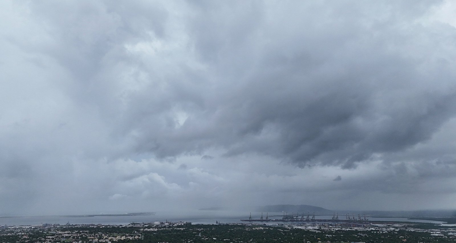
Imagem: Internet
In Haiti, the hurricane’s outer rainbands are expected to reach the southern peninsula on Tuesday, bringing episodes of heavy rainfall and tropical-storm-force winds. The risk of landslides is pronounced in regions where deforestation has made hillsides more vulnerable. Eastern Cuba faces similar threats as Melissa’s center nears the coast on Tuesday night, and civil defense authorities there have initiated evacuation plans for flood-prone areas.
Regional Response Efforts
Emergency operations centers in Jamaica, Haiti and Cuba are fully activated. The Jamaican government has opened shelters capable of housing tens of thousands of evacuees and has pre-positioned relief supplies, including food, water and medical kits. The Office of Disaster Preparedness and Emergency Management advised residents to stock at least three days’ worth of essentials and to keep battery-powered radios on hand for updates.
International aid organizations are coordinating with local governments. The Caribbean Disaster Emergency Management Agency announced that rapid-response teams and equipment stand ready for post-storm deployment. Neighboring nations in the Organization of Eastern Caribbean States have offered logistical support and pledged additional resources if requested.
Outlook
Forecasters emphasize that any deviation in Melissa’s track or intensity could alter the magnitude of impacts, but the system is expected to remain a dangerous hurricane through midweek. Communities across Jamaica, eastern Cuba and southern Haiti are urged to finalize protective actions as the window to do so closes.
Crédito da imagem: Matias Delacroix/AP


