Storm Development and Track
Meteorologists expect the disturbance to take shape over the coastal Carolinas early Sunday. Initial precipitation in the Mid-Atlantic will likely fall as rain south of Washington, D.C., while a band of light to moderate snow stretches from northern Virginia into central Pennsylvania, western New Jersey and parts of the lower Hudson Valley by late morning.
During Sunday afternoon, the low-pressure center is forecast to deepen rapidly off the coasts of North Carolina and Virginia before tracking northeastward parallel to the shoreline. As the pressure gradient tightens, wind speeds along exposed capes and barrier islands could exceed 50 miles per hour. The combination of heavy, wet snow and strong gusts may down tree limbs and power lines, raising the risk of outages across portions of New Jersey, Long Island and coastal Connecticut.
Projected Impacts by Region
Mid-Atlantic: Baltimore and Philadelphia may see a brief period of mixed precipitation before a transition to snow late Sunday afternoon. Accumulations of 4 to 8 inches are possible inland, with lower totals closer to the coast where temperatures hover near freezing.
New York City Metro Area: Forecast guidance currently suggests 8 to 14 inches of snow, with higher amounts in eastern Queens and western Long Island. Peak snowfall rates could reach 2 inches per hour after midnight Sunday until mid-morning Monday.
Southern New England: Rhode Island, eastern Massachusetts and Cape Cod face the dual threat of blizzard conditions and coastal flooding. Snow totals of 10 to 16 inches are possible. Strong onshore winds will drive water toward the coastline, and forecasters warn of beach erosion and localized overwash on barrier beaches.
Timing of Key Hazards
- Sunday, 6 a.m. – Noon: Light snow develops from northern Virginia to eastern Pennsylvania; rain dominates south of the Mason-Dixon line.
- Sunday, Noon – 6 p.m.: Rapid intensification off the Outer Banks; snow spreads into central and northern New Jersey, New York City and southern Connecticut.
- Sunday, 6 p.m. – Monday, 6 a.m.: Peak storm phase. Heavy snowfall and wind gusts above 45 mph create blizzard conditions from the Jersey Shore to Cape Cod. Coastal flooding coincides with overnight high tide.
- Monday, 6 a.m. – Noon: Blizzard conditions persist in eastern Long Island and southeastern New England. Snow begins tapering west of the Hudson River.
- Monday Afternoon – Evening: Precipitation diminishes across most of the Northeast, though intermittent snow showers may linger in interior New England.
Uncertainty and Ongoing Updates
While model agreement has improved, precise snowfall gradients remain uncertain, particularly near the rain-snow line along coastal New Jersey and lower Delmarva. Small shifts in the storm’s track could significantly alter accumulation totals in those transition zones. The NWS has signaled that additional watches and warnings will likely be issued within the next 24 hours as mesoscale details become clearer.

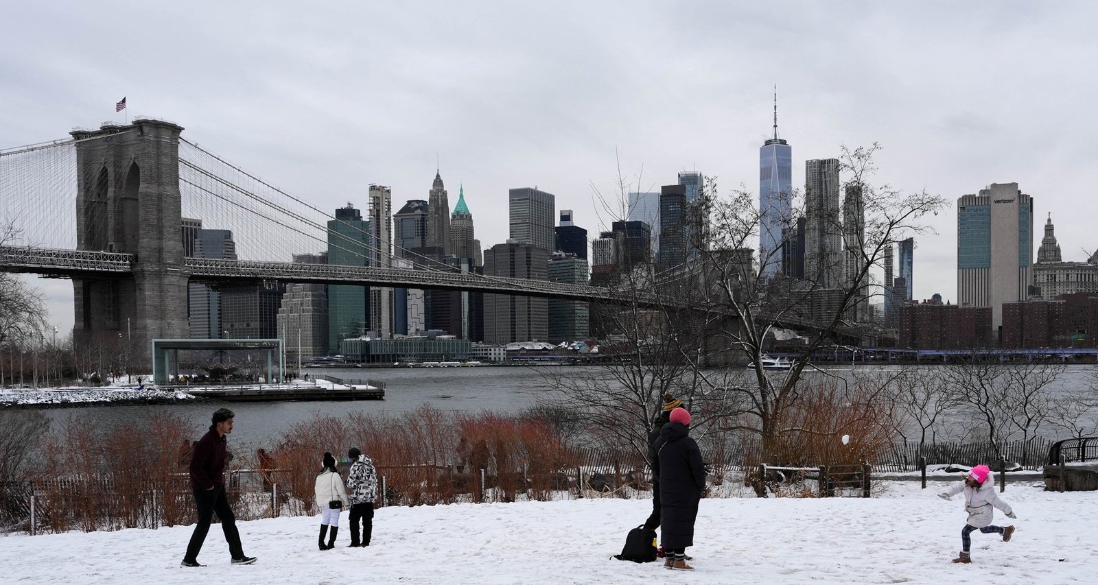
Imagem: Internet
Travel disruptions are expected throughout the region. Major airports from Washington Dulles to Boston Logan have advised passengers to check flight statuses and consider rebooking if travel is non-essential. State transportation departments are pre-treating highways and mobilizing plow fleets in anticipation of reduced visibility and rapid road icing.
Preparedness Measures
Officials recommend that residents in the warning area finalize storm preparations by Saturday night. Suggested actions include stocking essential supplies for at least 48 hours, charging electronic devices, and locating alternative heat sources in the event of power outages. Drivers are urged to keep emergency kits in vehicles and avoid unnecessary travel during peak storm hours.
The American Red Cross reminds individuals using generators to operate the units outdoors and away from windows to prevent carbon monoxide buildup. Pet owners should ensure animals have warm shelter and access to fresh water as temperatures drop behind the storm.
Outlook Beyond Monday
As the nor’easter exits into the Canadian Maritimes late Monday, a trailing upper-level trough may trigger scattered lake-effect snow showers in upstate New York on Tuesday. Otherwise, high pressure building over the Appalachians is expected to bring calmer weather and seasonal temperatures to the eastern United States through mid-week.
Forecasters will continue to refine snowfall projections and impact assessments. Residents can obtain the latest information from local NWS offices, state emergency management agencies and trusted media outlets.
Crédito da imagem: Adam Gray/Reuters


