Areas scarred by recent wildfires are of particular concern. Vegetation loss in those zones reduces the ground’s ability to absorb water, greatly increasing the chance of rapid runoff, debris flows and mudslides. Authorities have issued evacuation warnings for several burn-scarred neighborhoods and mandatory evacuation orders for the most vulnerable slopes.
Rainfall totals far above November averages
Meteorologists expect the mountains of Santa Barbara, Ventura and Los Angeles counties to register the heaviest totals, potentially reaching 4 to 6 inches before the storm exits Saturday night. For comparison, downtown Los Angeles typically records about 0.8 inch of precipitation during the entire month of November.
Forecasters emphasize that even communities outside burn areas face significant risk. Saturated soils, steep terrain and aging drainage systems throughout the region can all contribute to mudslides or sudden street flooding. Drivers are urged to avoid water-covered roadways, and residents living near hillsides are advised to monitor local emergency channels for updates.
Timing of hazardous conditions
The early-morning deluge forced scattered road closures and minor debris flows in foothill zones. As the midday wave approaches, meteorologists warn that storm cells could intensify quickly, dropping heavy rain in short bursts. Gusty downdrafts may also down tree limbs and cause localized power outages.
Emergency managers note that flash flood conditions can develop within minutes, particularly where hills funnel runoff toward narrow canyons or concrete flood-control channels. Officials recommend that anyone traveling in mountainous corridors keep a close watch on weather alerts and be prepared to turn around if water begins covering the pavement.
Preparedness measures
The Los Angeles Fire Department has pre-positioned swift-water rescue teams near flood-prone intersections and riverbeds. Public works crews throughout Southern California spent Friday clearing storm drains and placing concrete barriers along vulnerable slopes. Sandbag distribution sites opened in multiple cities to help residents divert runoff away from homes and businesses.
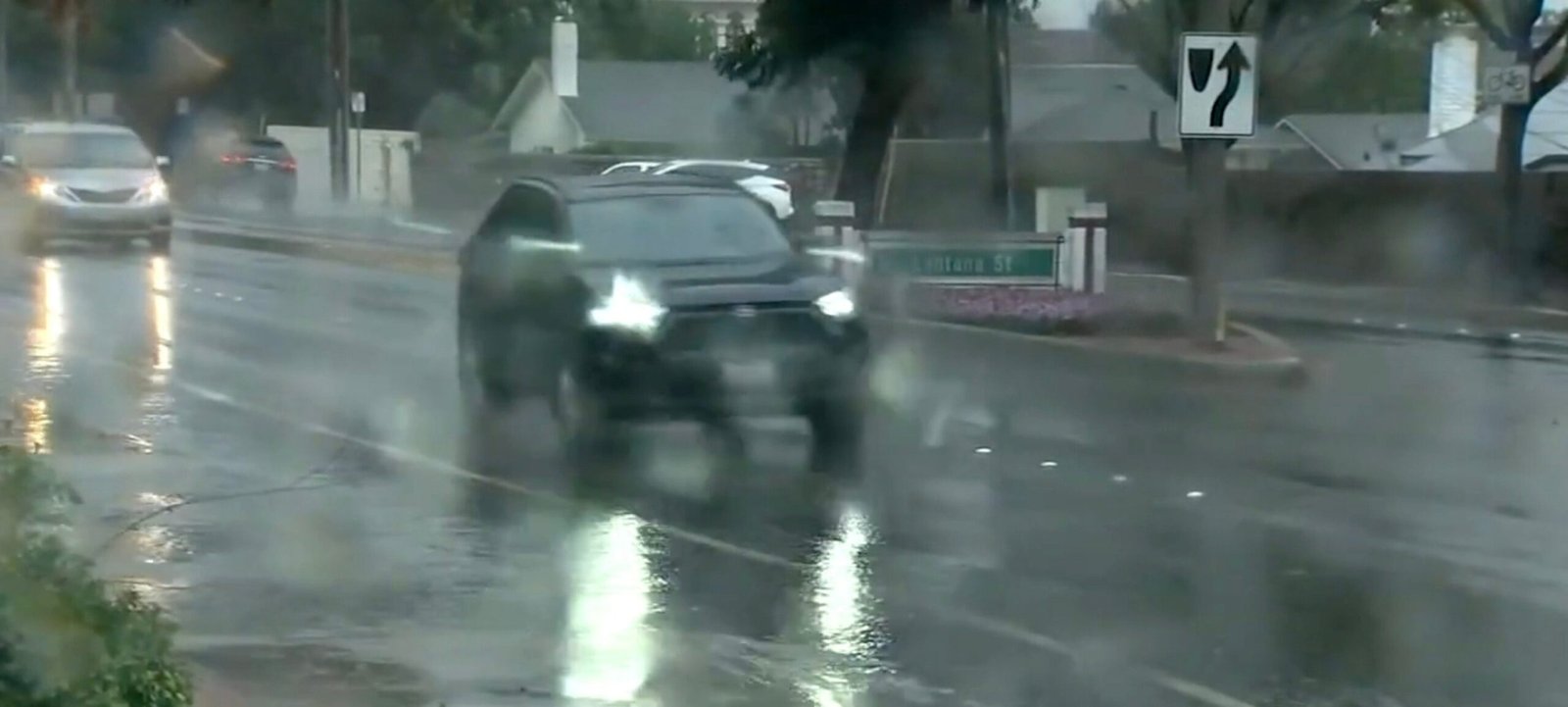
Imagem: Internet
In Ventura County, sheriff’s deputies conducted door-to-door notifications in select burn scar communities on Friday evening. Similar precautionary steps were taken in sections of Santa Barbara County where debris flows damaged property during past storms.
Officials stress that evacuation instructions, if issued, should be followed immediately. Mudslides can move faster than a person can run, and emergency personnel may not be able to reach isolated areas once roads become blocked by debris.
Outlook for the coming days
While the heaviest rain is expected to taper off late Saturday, forecasters predict an unsettled pattern will persist into early next week. Additional weak disturbances could bring periodic showers, prolonging concerns about flash flooding and slope instability. The National Weather Service advises that any new rainfall will fall on ground already saturated by Saturday’s storm, raising the potential for further debris flows and landslides.
Residents can find updated watches and warnings through official city websites and the National Weather Service, which provides real-time radar imagery and localized forecasts.
Transportation officials say highway crews will continue to monitor mountain passes and canyon roads for rockfalls and erosion. Commuters are encouraged to plan for longer travel times and to consult traffic advisories before heading out.
As Southern California navigates the first significant storm of the season, emergency managers reiterate that preparedness and swift action remain the most effective defenses against flash flooding and mudslides. Authorities will maintain a high level of readiness until the system clears and the threat to lives and property subsides.
Crédito da imagem: KABC


