Cleveland Registers the Strongest Barrier Effect
Among the 50 metro areas, Cleveland, Ohio, exhibited the largest reduction in neighborhood-level interaction. The authors point out that many of the city’s freeways were routed through densely populated districts during the mid-20th century, mirroring national patterns in which highway construction displaced or isolated low-income and minority communities. The analysis indicates that those design decisions continue to shape social networks decades later.
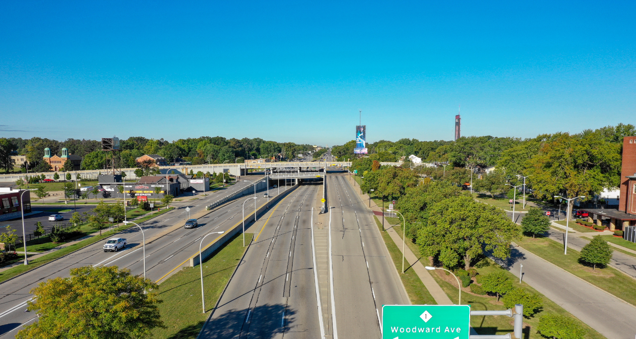
Detroit’s Eight Mile Road provided another notable case. Often cited as a boundary line between racial and economic groups, the corridor still correlates with lower cross-highway engagement on social media platforms. According to the study, such examples illustrate how physical infrastructure can lock in social separation long after construction is complete.
Implications for Health and Longevity
The researchers connect diminished neighborhood interaction with broader public-health concerns. Prior work in epidemiology and gerontology links frequent face-to-face contact to lower mortality, improved mental health, and increased life satisfaction. From that perspective, urban design choices that impede casual visits or limit walkability may indirectly influence life expectancy. Communities often referred to as “Blue Zones” for their exceptional longevity feature compact street grids, communal public spaces, and high rates of pedestrian movement—conditions that foster the very social bonds the highway study finds in short supply near busy arterials.
Policy Context and Recent Setbacks
The findings arrive as several U.S. municipalities consider removing or capping sections of aging freeways. In 2021, the federal government established the Reconnecting Communities Pilot Program to fund projects aimed at repairing harms caused by past transportation investments. Although initial grants were awarded, the study notes that subsequent policy shifts have slowed or halted some planned interventions, leaving local governments uncertain about long-term support.
Researchers argue that quantitative evidence of social fragmentation could help cities prioritize mitigation efforts, such as pedestrian bridges, deck parks, or redesigned frontage roads. By documenting consistent patterns across diverse regions, the study provides a data-driven basis for estimating the social return on such investments.
Balancing Mobility and Community Cohesion
Highways undeniably facilitate regional commerce and enable commuters to cover long distances quickly. The authors emphasize that their work does not call for wholesale rejection of road infrastructure; rather, it highlights a trade-off between speed and social cohesion that is often overlooked. Mitigation strategies could include rerouting future corridors away from dense residential areas, integrating multimodal transport options, or incorporating design elements that make crossing easier for pedestrians and cyclists.
Urban planners and transportation engineers have long suspected that wide, high-speed corridors discourage walking and limit casual neighborhood encounters. Until now, however, most evidence relied on small-scale surveys or case studies. By harnessing a large social media dataset, the new research offers a broad statistical foundation for those earlier observations, capturing variations across geography, socioeconomic status, and urban form.
Future Research Directions
The study’s authors acknowledge limitations, including potential biases in social media usage and the challenge of mapping online connections onto real-world relationships. They recommend supplementing digital analysis with surveys, mobile-phone location data, and ethnographic studies to refine understanding of how physical barriers affect different demographic groups.
Further work could also investigate whether recent trends toward remote work, micro-mobility, and mixed-use development alter the relationship between highways and social networks. As cities confront climate goals and changing mobility preferences, the balance between vehicle throughput and neighborhood vitality is likely to remain a central concern.
For now, the results underscore a straightforward message: infrastructure designed to move people can also keep them apart. Quantifying that paradox may give policymakers a clearer basis for decisions about where, and how, to build the next generation of transportation projects.
Crédito da imagem: Stock photo via Unsplash